




GET MORE INFORMATION
We respect your privacy! Your information WILL NOT BE SHARED, SOLD, or RENTED to anyone, for any reason outside the course of normal real estate exchange. By submitting, you agree to our Terms of Use and Privacy Policy.
Listed by Knipe Land Company
Bought with Non Rmls Broker
Bought with Non Rmls Broker
$ 691,645
$ 820,000 15.7%
Est. payment | /mo
1,490 Acres Lot
$ 691,645
$ 820,000 15.7%
Est. payment | /mo
1,490 Acres Lot
Key Details
Sold Price $691,645
Property Type Vacant Land
Sub Type Mixed Use
Listing Status Sold
Purchase Type For Sale
MLS Listing ID 195649459
Sold Date 09/03/26
HOA Y/N No
Annual Tax Amount $245
Tax Year 2025
Lot Size 1490.000 Acres
Property Sub-Type Mixed Use
Property Description
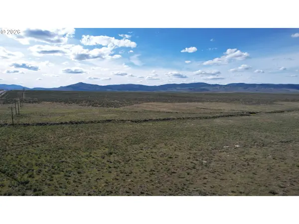
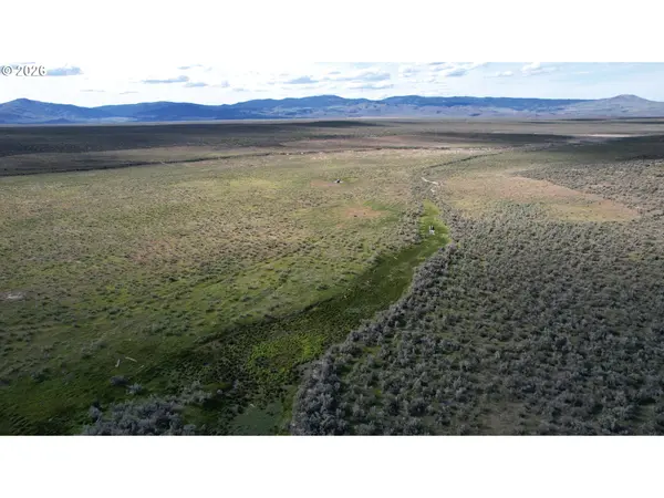
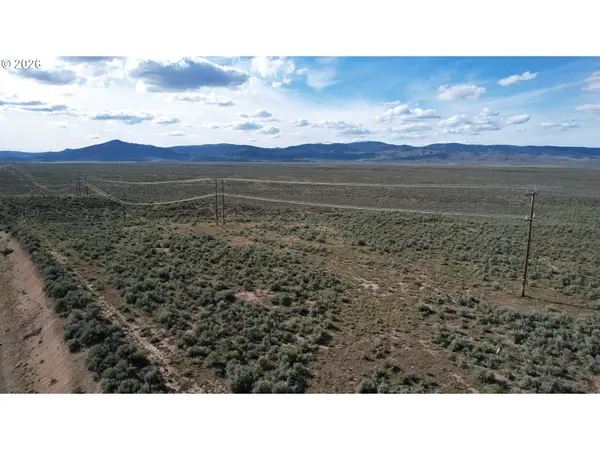
Newly combined acreage at a lower price. Sagebrush blends with natives grasses providing a great landscape for the cattle as well as the elk and deer. Within the Lost Valley Creek's watershed, a seasonal creek and several springs are available for the stock water tanks, and also attracts wildlife. Some of the best hunting land in the area. The highway on the south boundary provides direct access to the property and also power and fiber optic cable. Along with this land, there is BLM land nearby expanding your outdoor playground. Ironside Mountain, Cow Valley Butte and Juniper Mountain are all in close proximity and less than an hour to Vale, Oregon.
Location
State OR
County Malheur
Area _455
Zoning C-A2
Exterior
Utilities Available Spring
View Mountain
Garage No
Building
Lot Description Seasonal, Stream
Schools
Elementary Schools Burnt River
Middle Schools Burnt River
High Schools Burnt River
Others
Acceptable Financing Cash, Conventional
Listing Terms Cash, Conventional

Nearby Locations
GET MORE INFORMATION